Wind direction: This indicates the direction of the wind according to where it comes from. For example, a north wind blows from north to south.
The winds that blow across Lake Geneva can be divided into two main groups: synoptic winds, influenced by atmospheric flows, and local winds (thermal or stormy). This week, we'll be talking about the former. The latter will be described in the publication of Wednesday 16 October.
Synoptic winds :
The two best known are the West wind and the Bise. These two winds can blow throughout the year. The West Wind blows, as its name suggests, from the South-West. It can blow very variably, oscillating between 10 and 70 km/h (!) and is characterised by a flow of warm, humid air. This wind is influenced by cyclones in the North Atlantic.
The Bise, on the other hand, is a northerly wind, often cold and dry. It arrives on the lake at Lausanne and blows mainly towards Geneva, but can sometimes blow towards Le Bouveret. This wind can easily reach 80 km/h. Among sailors, the Bise is said to blow in multiples of 3 days. An episode of Bise will therefore last 3, 6 or 9 days. In autumn and winter, a variant of the Bise, known as the Bise noire, is characterised by a strong flow of wind from the North Sea, accompanied by heavy clouds. There may also be some precipitation.
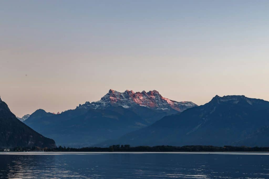
Haut-lac and Grand-lac are sometimes swept by a strong south-easterly wind. This is known as the Vaudaire. This wind blows irregularly down the Rhône valley, with gusts easily exceeding 50 km/h.
Local winds :
Lake Geneva is well known for its numerous thermal breezes. These only develop in the absence of a synoptic wind. They are caused by a difference in temperature between the shore and the lake. For example, during the day, the land will be warmer than the water. The wind will therefore blow from the open sea towards the land. At night, the phenomenon is reversed thanks to the lake's thermal inertia (ability to retain heat). The best-known of these thermals, the Séchard blowing from the north-east, offers sailors some magnificent sailing in what are known as "cinematic" airs.
The mountains around Lake Geneva expose the lake to storms and violent gales. Whether they descend from the Rhône valley, the Dranses or the Jura, each wind has its own name. The Joran descends from the Jura ridges, the Bornan from the massifs overlooking the Savoyard coast and the Vaudaire following the Rhône valley. Of course, not all the thermiques of Lake Geneva have been mentioned here. Fraidieu, Morget, Vauderon, Môlan, the local winds are numerous and sometimes only blow over very small areas. These thermals were very regular in the not-too-distant past, but are now being progressively influenced by urbanisation and global warming. Some of these winds hardly blow at all, or at least not as regularly, as they did in the 20th century.
A quick clarification about the Vaudaire we talked about last week. This wind can form under several conditions. The first is an extension of the Foehn blowing in the Alps, which is why we talked about it in the first part. Although not strictly speaking a synoptic wind, it is not a local breeze in the same way as the winds described above. The Vaudaire can also blow during thunderstorms at the end of the Rhône valley, in which case we can speak of a local wind. The term Vaudaire therefore defines a wind originating in the Rhône valley.